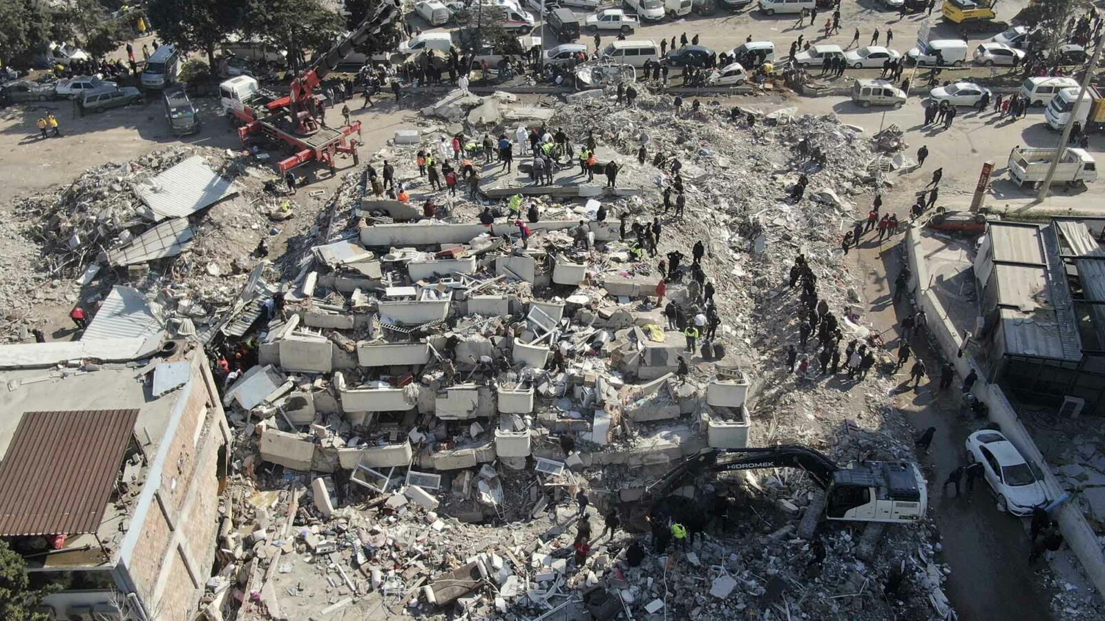
The National Aeronautics and Space Administration (NASA) is sending aerial photos and data to aid rescue efforts in earthquake-ravaged Turkey and Syria.
The chief of the US space agency, Bill Nelson, stated that professional teams are working hard to transmit crucial information from the Earth-observing fleet to rescue personnel. NASA employs synthetic aperture radar (SAR), which can observe the Earth in all weather situations, day and night. it measures how the ground moves and the constructed landscape changes following an earthquake.
A team of scientists from Singapore’s Earth Observatory and NASA’s Jet Propulsion Laboratory gathered photographs before and after the earthquake to construct a “damage proxy map” for Turkey.
These proxy maps compare earthquake radar pictures before and after the disaster to show how the landscape altered following the devastation. These proxy maps are made available to the US State Department, the California Seismic Safety Commission, the World Bank, and the Miyamoto Global Disaster Relief by the agency’s Earth Science Applied Sciences, national and international collaborators.
NASA members not only give observations and maps through the Disaster Mapping Portal, but they also participate in US Agency for International Development coordination calls.
Lori Schulz, NASA’s disaster coordinator for the Turkey-Syria earthquake, said the agency does not know who utilizes the information it disseminates, but they have heard that the World Central Kitchen has used the information to deliver food to the displaced. NASA scientists are leveraging space and ground-based observations to increase their capacity to decipher natural disaster events.
The scientists use data from NASA’s Commercial SmallSat Data Acquisition program, which collects data from commercial satellites to aid NASA’s scientific goals. They can identify places that are at risk of landslide risks.
According to NASA, scientists want to add a new technique to examine the quake’s aftermath. The Earth Surface Mineral Dust Source Investigation (EMIT), which will be sent to the International Space Station in 2022, will be able to measure methane emissions as part of investigations of the composition of the Earth’s atmosphere.
The ISS orbit dictates its observation times. However, as the spacecraft passes over the earthquake areas, measurements of new emissions may reveal occurrences that would not otherwise be visible from space.
NASA Disaster Program manager Shanna McClain stated that the agency’s relief operations include tracking natural hazard-triggered technology disasters such as damaged infrastructure and pipeline bursts, which the agency hopes to identify immediately to save the lives of those nearby. According to the website report, the EMIT’s ability to assist with such initiatives is being assessed.


